
When we first starting talking as a family about selling it all and buying a RV to travel, Valor kept saying he wanted to go to Death Valley National Park... So we made it happen!

🏡The Pads — Just southeast of Death Valley National Park along CA Hwy 190. It’s a primitive, free boondocking spot. It originally was used for nearby mining facilities which has since been abandoned. We enjoyed the dark skies, and had a glow stick/star-gazing party. There are no amenities, and was our first time using our generator!


🏡Sunset Campground in Death Valley National Park — The campground has little to no vegetation, comprised of desert gravels and no hookups.

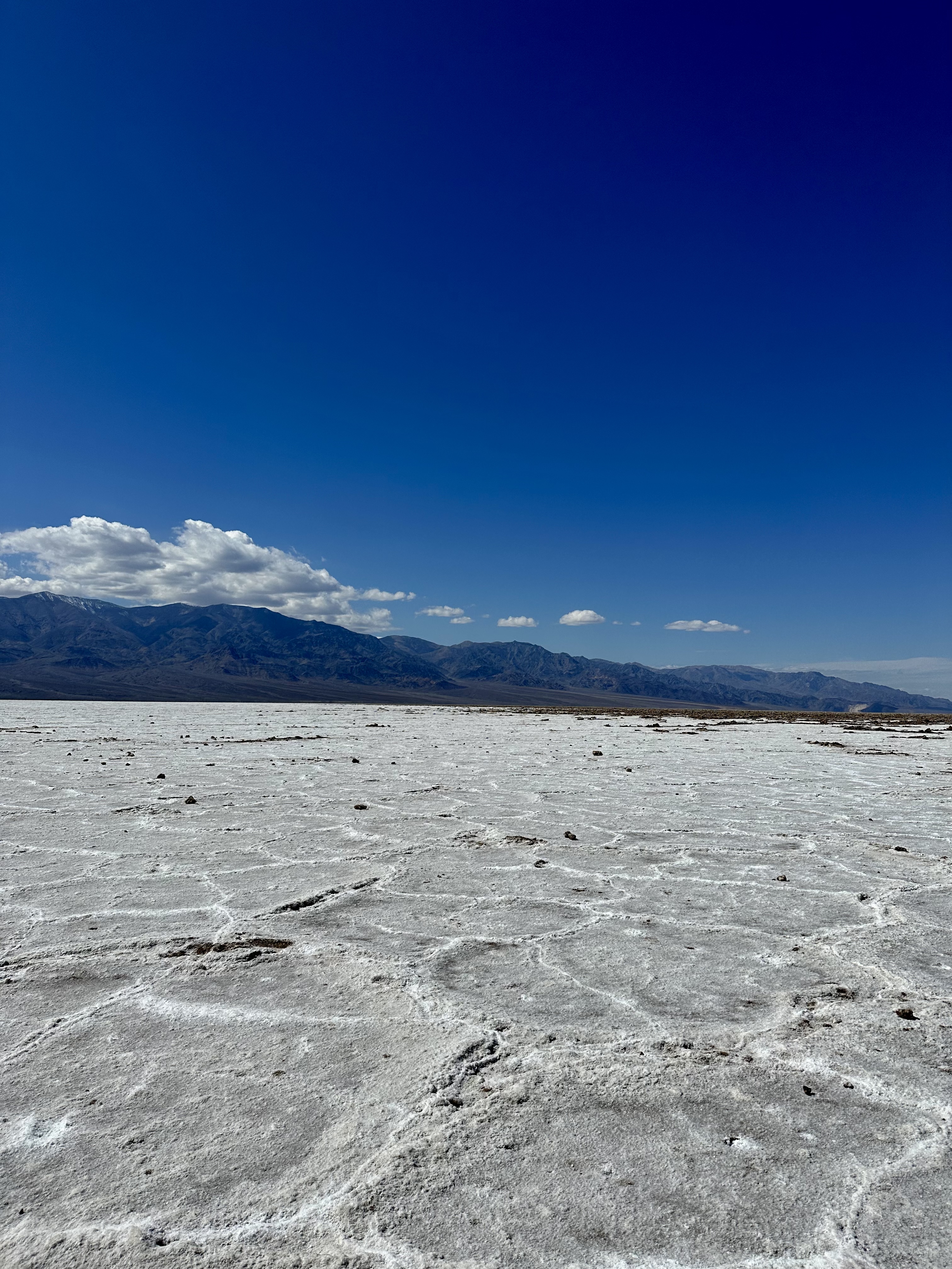
📍Badwater Basin
Named after a surveyor mapping this area could not get his mule to drink from this pool. He wrote on his map that the spring had “bad water,” and the name stuck. The vast salt flats of Badwater were surreal. Sodium chloride (table salt) is what makes up the majority of salts here.


📍Bridge Canyon
A natural bridge connects the walls of this canyon. The bridge is about 35 feet thick and about the same hight above the canyon floor.


📍Mesquite Flat Sand Dunes
This is the widest part of Death Valley, and the boys had a blast playing in the sand and rolling down.


📍Wildrose
In the Panamint Range, we were in high enough elevation to touch the snow and even make a few snowballs — an ecological island in comparison to the dry desert below.


📍Wildrose Charcoal Kilns
Built in 1877, these kilns produced charcoal. They used piñon pine logs, burning for 6-8 days, then cooling took another 5 days. The charcoal was taken to a local smelter for silver and lead mining. The kilns were closed only after 3 years, but may be the best-preserved examples of charcoal kilns in the West.


📍Artist’s Palette
This place was our favorite spot in Death Valley — with colors splashed across the slope. More than 5 million years ago, repeated volcanic eruptions blanketed the landscape. The ash and minerals from this have been chemically altered by the elements creating the colors.


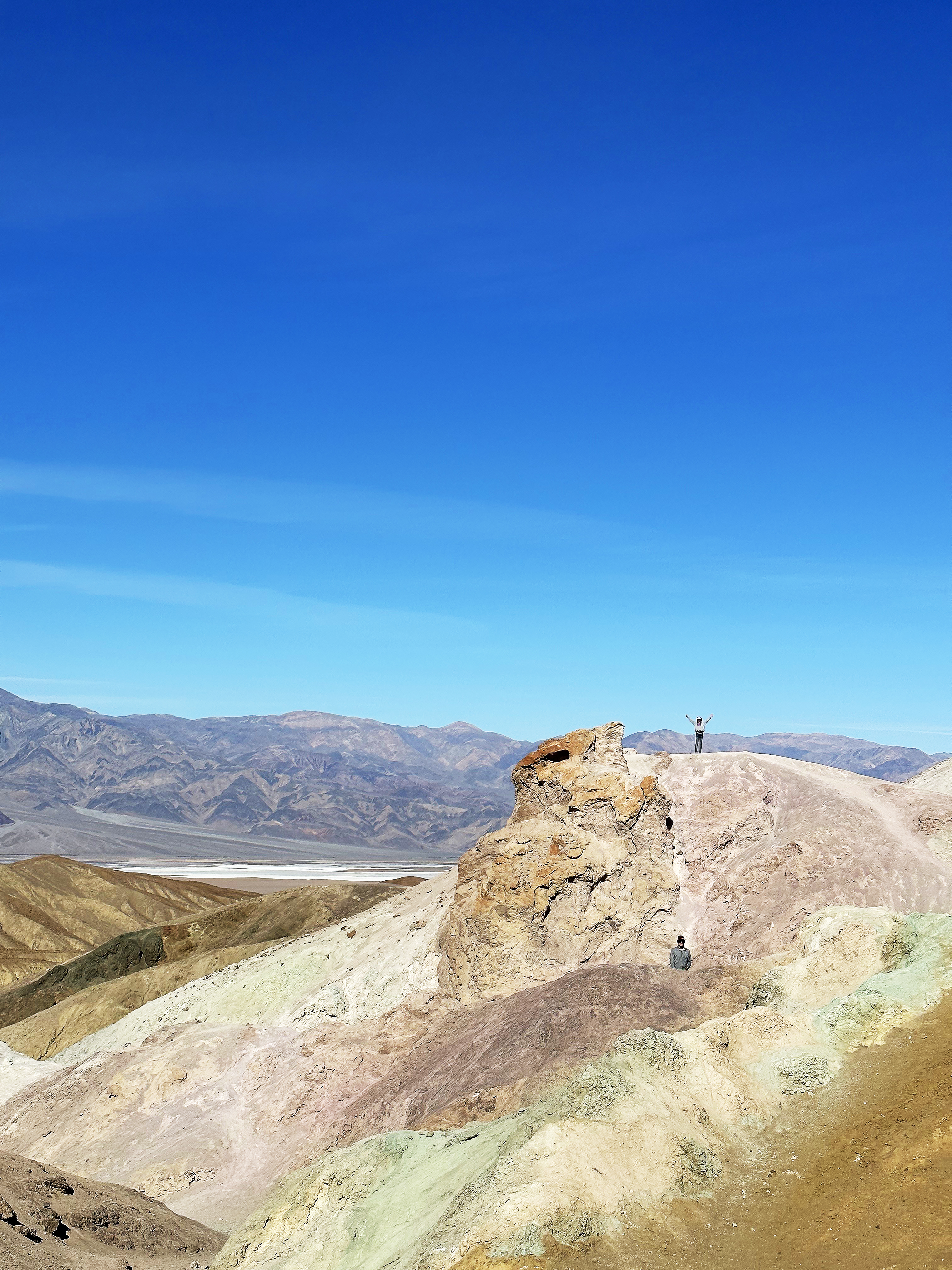

📍Zabriskie Point
High above otherworldly badlands canyons below, with a colorful, panoramic view.


⬆️ Highest elevation reached: approximately 7,000 feet
⬇️ Lowest elevation reached: The lowest point in North America! At 282 ft below sea level (at Badwater Basin)


